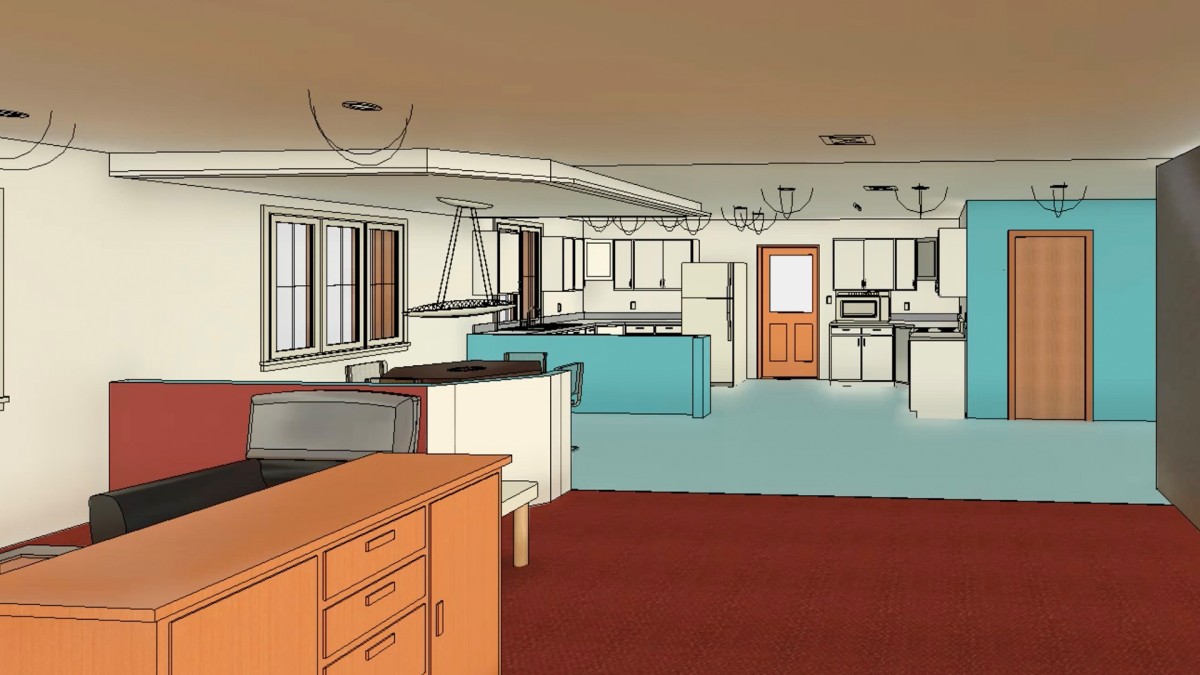
Introduction
Becoming an Autodesk Certified Professional: Civil 3D for Infrastructure Design
()
Using the exercise files
()
1. Points
Survey points and COGO points
()
Create COGO points
()
Specify point parameters
()
Point styles and point label styles
()
Rotate point markers
()
Manage point styles
()
Edit point properties
()
Add and edit point labels
()
Create and modify point groups
()
Change the point group display order
()
2. Parcels
About automatic parcel creation
()
Create a parcel from drawing objects
()
Create a parcel by layout
()
Create a parcel by subdividing
()
Associate a parcel with a site
()
About parcel labels
()
Create parcel labels
()
Define parcel styles
()
Create a parcel table
()
Convert a label to a tag
()
Rename and renumber parcels
()
Delete a parcel
()
3. Survey
Work with linework code sets
()
Utilize points in the survey database
()
Use the Traverse Editor
()
Use the figure prefix database
()
Perform a mapcheck analysis
()
4. Surfaces
About surface styles
()
About surfaces
()
About surface data
()
Define surface soundaries
()
Surface statistics
()
Work with TIN lines
()
Create and edit surface
()
Create a volume surface
()
Edit the surface definition
()
Create a TIN volume surface
()
Create surface labels
()
Create contour labels
()
About surface analysis
()
Configure a surface analysis
()
Perform a surface analysis
()
5. Grading
Create feature lines
()
Edit feature lines
()
Edit feature line elevations
()
Working with sites
()
Create and edit grading
()
Work with grading criteria
()
6. Alignments
Create an alignment from objects
()
Create offset alignments
()
Edit alignment constraints
()
Edit alignment geometry
()
Reverse the alignment direction
()
Apply widening to an alignment
()
Understanding alignment labels
()
Create alignment labels
()
Edit alignment labels
()
7. Profiles and Profile Views
Create a surface profile
()
Create a layout profile
()
Edit a layout profile
()
Understand the profile grid view
()
Create vertical curves
()
Edit profiles using grips
()
Understand profile views
()
Understand profile view projection
()
Create a profile view
()
Split a profile view
()
Understanding profile labels
()
Create profile labels
()
Edit profile labels
()
8. Corridors
Work with subassemblies and assemblies
()
Create a corridor
()
Add baselines to a corridor
()
Work with targets
()
Remove bowties
()
Rebuild corridors
()
Create objects from a corridor
()
9. Sample Lines and Section Views
Create sample lines
()
Configure a group plot style
()
Edit sample line groups
()
Create section views
()
Compute materials
()
10. Pipe Networks
Understanding gravity parts
()
Set the gravity part catalog location
()
Modify a gravity parts list
()
Create gravity pipe networks
()
Add gravity pipe networks to profile view
()
Change the pipe network flow direction
()
Annotate gravity pipe networks
()
Modify a pressure parts list
()
Set the pressure part catalog location
()
Create a pressure network
()
Add a pressure network to profile view
()
Annotate pressure pipe networks
()
11. Plan Production
Use the Text Component Editor
()
Change the dragged state of a label
()
Apply a label set to an object
()
Create view frames
()
Insert match lines
()
Create sheets
()
12. Data Management
Data shortcut vs. external reference
()
About data shortcuts
()
Create a data reference
()
Ex_Files_CP_AutoDesk_Civil3D.zip
(1.1 GB)