Introduction
Drone analysis with ArcGIS Drone2Map
()
What you should know
()
1. Understanding ArcGIS Drone2Map
Understanding the login to Drone2Map
()
How to create a project in Drone2Map
()
Drone2Map Ribbon, Groups, and Contextual Layers
()
What is the folder structure of every Drone2Map project?
()
Using docking tabs in Drone2Map
()
Understanding the Drone2Map Contents panel
()
How to use 2D and 3D map views
()
2. True Orthophotos
How to create a 2D project
()
What is a true ortho?
()
Planning your drone flight
()
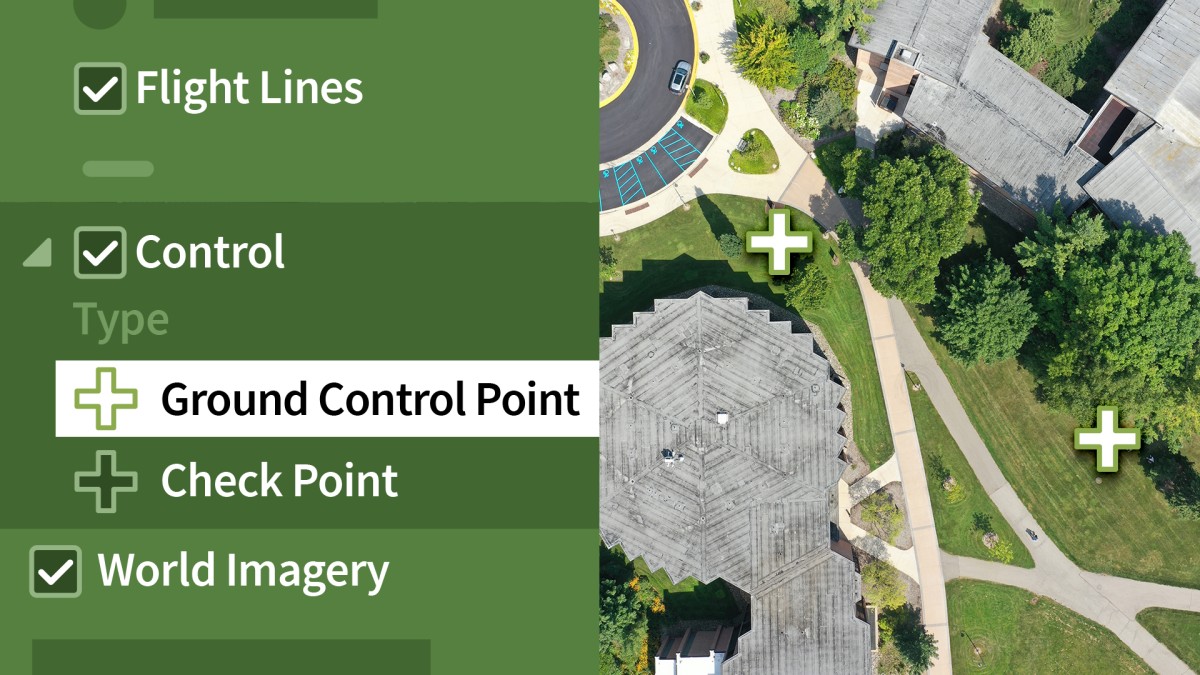
Using ground control points (GCP)
()
Tying GCPs to images
()
Adjusting image processing
()
Processing and postprocessing check
()
Reviewing the accuracy of your true othoromosaic
()
Creating the true ortho
()
Challenge: Compare and contrast GCP true ortho
()
Solution: Compare and contrast GCP true ortho
()
3. 2D Elevation Surfaces
What is a digital surface model (DSM)?
()
What is a digital terrain model (DTM)?
()
Creating the DSM and DTM
()
Understanding the DSM and DTM products
()
Conducting measurement analysis on DSMs and DTMs
()
Making an elevation profile
()
Challenge: Measure the height and area
()
Solution: Measure the height and area
()
4. 3D Drone Imagery
Parameter adjustment for 3D creation
()
Creating a 3D drone image
()
Exploring the point cloud and mesh
()
Exporting your results to ArcGIS online
()
Making measurements in 3D
()
Challenge: What are the entrance heights of the building?
()
Solution: What are the entrance heights of the building?
()
5. Site Inspection with Drones
The inspection toolset in Drone2Map
()
The inspection viewer
()
The inspection editor
()
Doing the inspection
()
Generating the site inspection report
()
Evaluating the site inspection report
()
Challenge: Inspect the "Chapter 4" building
()
Solution: Inspect the "Chapter 4" building
()
Conclusion
Get professionally certified for drone flights
()
Ex_Files_Drone_Analysis.zip
(2.0 GB)