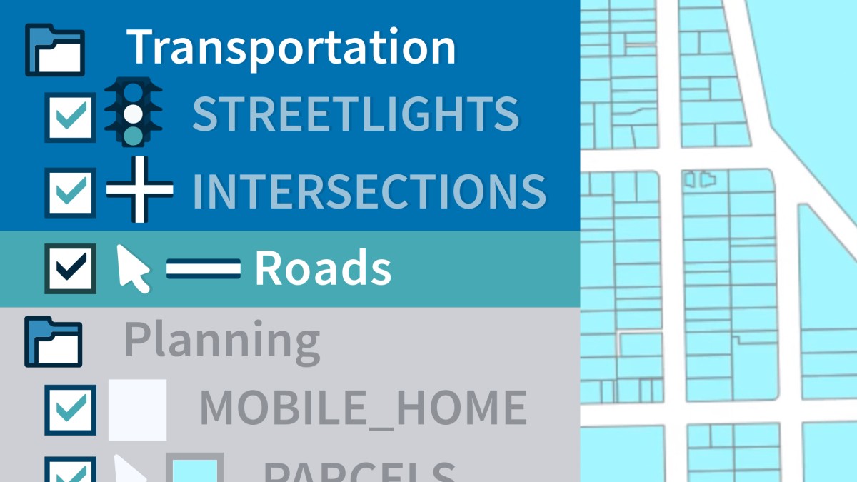
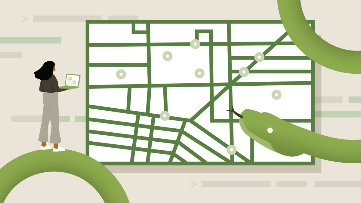
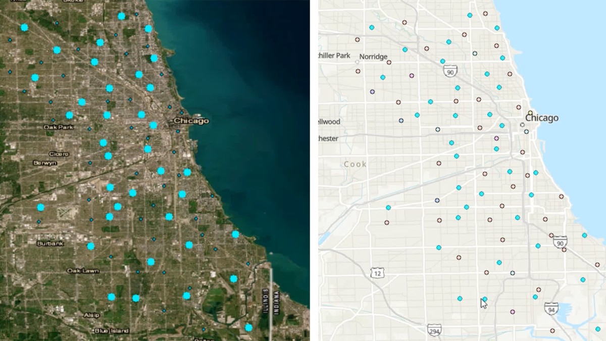
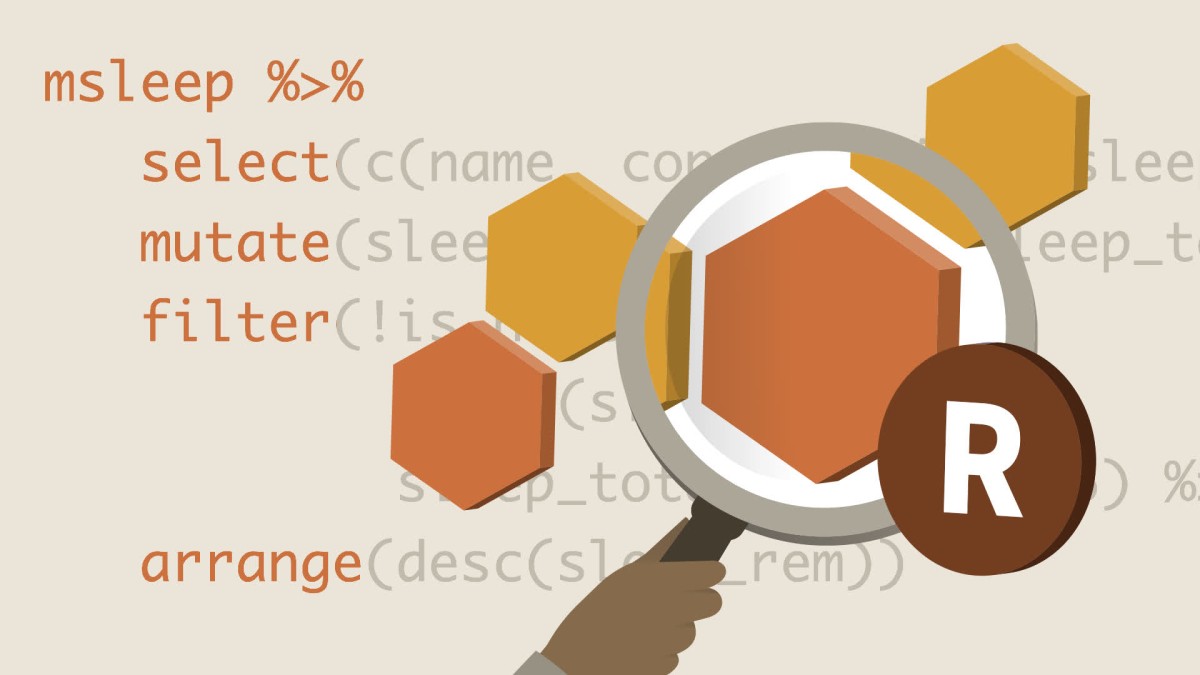
آموزش ایجاد نقشه با R
دانلود فایل فشرده
با توجه به امکانات آموزش و همچنین امکانات بسته انتخاب شده لینک دانلود فایل فشرده آماده خواهد شد. با در نظر داشتن این شرایط لطفا بسته مورد نظر خود را انتخاب کرده و روی دکمه درخواست لینک دانلود کلیک کنید
درخواست لینک دانلود
لطفا قبل از فعالسازی لینک دانلود به موارد زیر توجه کنید:
- پسورد فایلهای فشرده است.
- لینکهای آماده شده تا 8 روز پس از فعالسازی منقضی خواهند شد.
- حجم فایلها تخمینی هستند.
- در صورتی که لینک دانلود تا 15دقیقه پس از درخواست آماده نشد، از بخش پشتیبانی پیگیری نمایید.
یکی از مهمترین مشکلات افرادی که از آموزش های آنلاین استفاده می کنند این است به دلیل تعداد زیاد این آموزش ها، کاربر دچار سردرگمی شده و نمی داند از کدام آموزش بهتر است شروع کند و یا با کدام آموزش ها مهارت های خود را ارتقا دهد. داشتن یک برنامه آموزشی گام به گام میتواند کاربران را از این مشکلات رها کند. در واقع مسیرهای یادگیری مجموعه ای از آموزش ها هستند که به ترتیب اولویت در کنار هم قرار گرفته اند تا کاربران را از این سردرگمی ها نجات دهند. این مسیرها در موضوعات مختلفی دسته بندی شدهاند که در زیر، لیستی از همه دسته بندی مسیرهایی که توسط سایت لیندا ارائه شده اند را می توانید مشاهده کنید.
آموزش Creating Maps with R در 2 مسیر آموزشی قرار دارد. تخصص مورد نظر خود را انتخاب کنید، با مسیر یادگیری آن همراه شوید و حرفه ای شوید.
همانطور که داده ها همچنان در هر بخش از زندگی ما نفوذ می کنند، استفاده از فناوری نقشه برداری سیستم اطلاعات جغرافیایی (GIS) در محصولات و خدمات در حال افزایش است. با ابزارهای پیشرو و مبانی اصلی GIS برای صنعت معماری، مهندسی و ساخت و ساز (AEC) آشنا شوید.
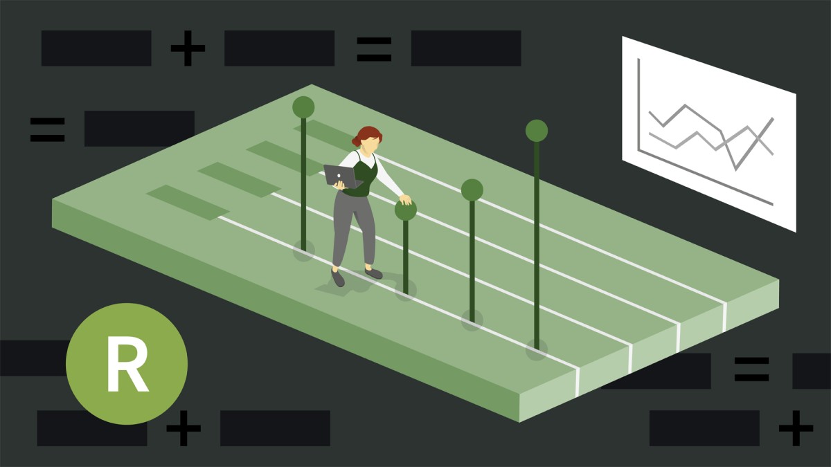
آموزش ایجاد نقشه با R ، ایستگاه شماره 9 در مسیر یادگیری مهارت های خود را در GIS ارتقا دهید ، است.

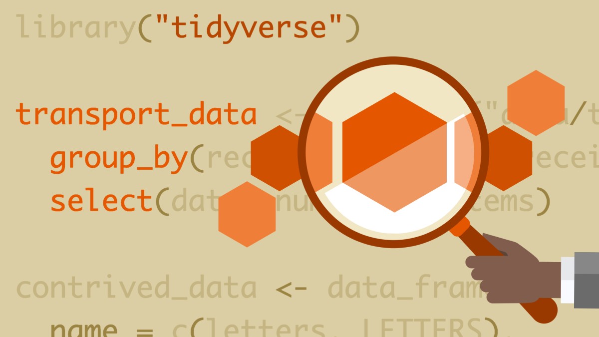
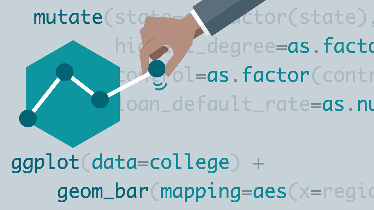
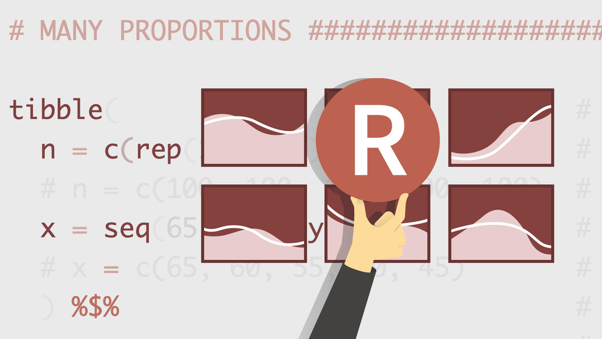
این مسیر یادگیری جامع شما را از مبانی R به برنامه های پیشرفته علم داده می برد. شما با روشهای اصلی بحث، تجسم و مدلسازی دادهها شروع میکنید. سپس مهارتهای خود را در پروژههای دنیای واقعی، چالشهای کدنویسی به کار میگیرید و در اکوسیستم قدرتمند Tidyverse فرو میروید. این مسیر برای دانشمندان مشتاق داده، تحلیلگران و علاقه مندان به R که به دنبال تسلط بر زبان و قابلیت های علم داده آن هستند، ایده آل است.
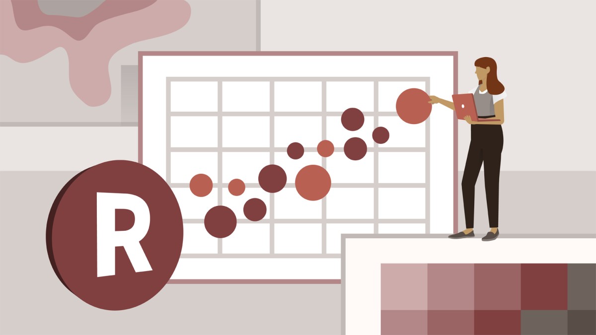
آموزش ایجاد نقشه با R ، ایستگاه شماره 7 در مسیر یادگیری مهارت های خود را در R ارتقا دهید ، است.