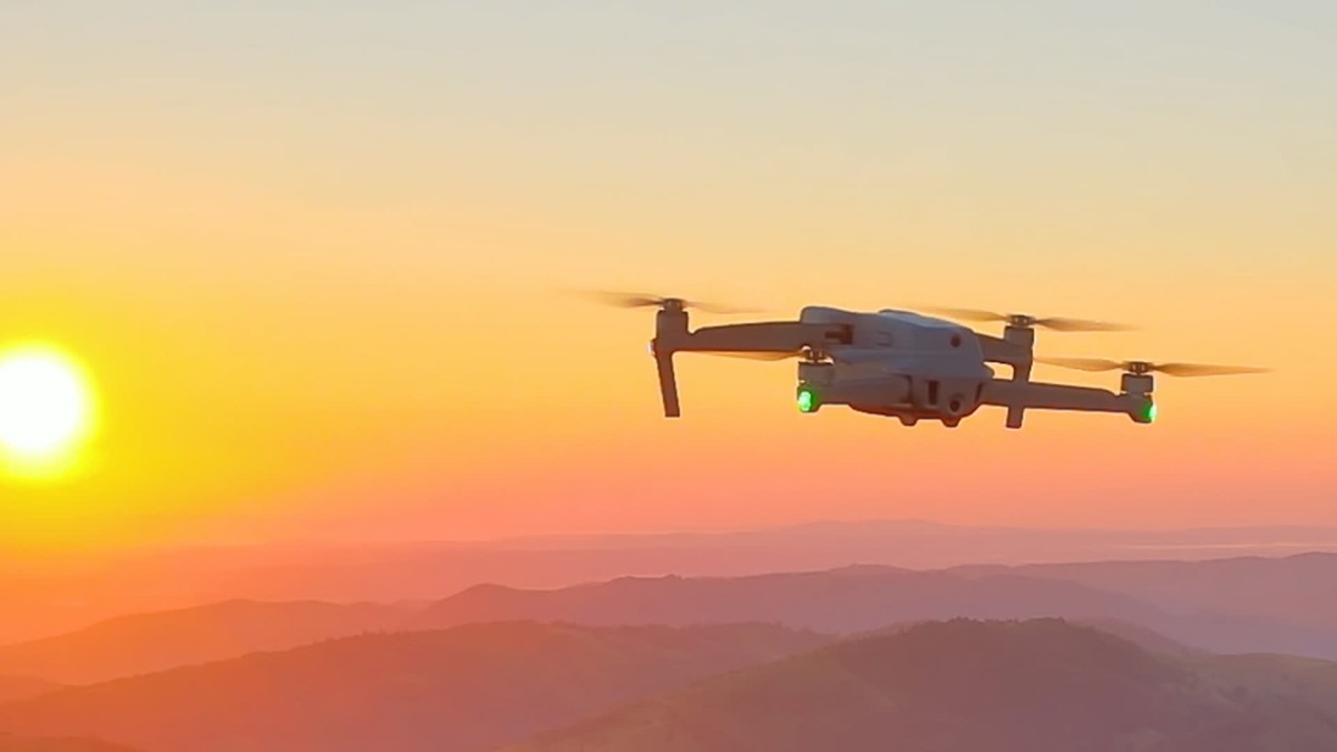
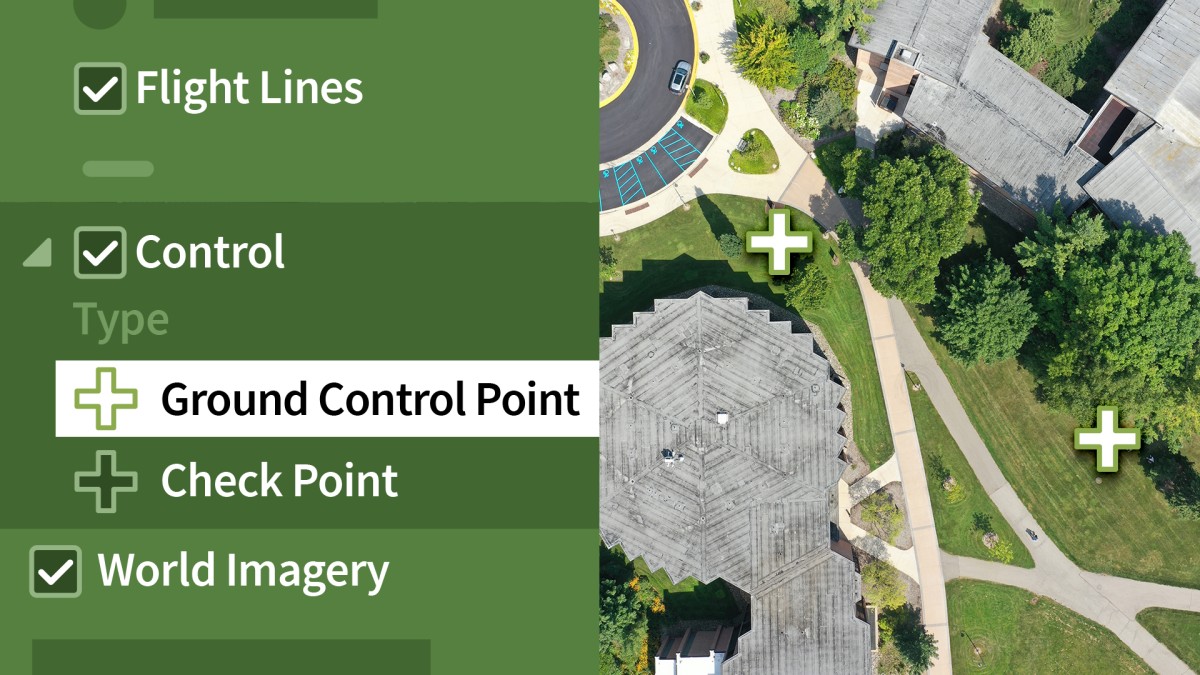
Introduction
                                    
                                        Drone mapping
                                            
                                                ()


                                1. The Art and Science of Photogrammetry
                                    
                                        What is photogrammetry?
                                            
                                                ()


                                2. Federal Aviation Administration (FAA)
                                    
                                        Getting Part 107 certified: sUAS remote pilot
                                            
                                                ()


                                        Understanding airspace
                                            
                                                ()


                                        Air Map
                                            
                                                ()


                                3. Getting Started
                                    
                                        Which mapping drone and camera are right for you?
                                            
                                                ()


                                        Pix4Dbim: Mapper, fields, and model
                                            
                                                ()


                                4. Pix4Dcapture App
                                    
                                        Using the Pix4Dcapture app to choose a mission: Part 1
                                            
                                                ()


                                        Using the Pix4Dcapture app to choose a mission: Part 2
                                            
                                                ()


                                5. Your First Flight
                                    
                                        Preflight checks
                                            
                                                ()


                                        Downloading and naming your data
                                            
                                                ()


                                6. Coordinate Systems and Projections Overview
                                    
                                        The mathematical model of Earth in Pix4D
                                            
                                                ()


                                7. Pix4D Desktop: Introduction
                                    
                                        Overview of Pix4D: Creating your first project
                                            
                                                ()


                                        Coordinate systems and projections
                                            
                                                ()


                                        Processing options template
                                            
                                                ()


                                        The Pix4D Map View interface
                                            
                                                ()


                                        Definitions: Densified point cloud, 3D textured mesh, DSM, DTM, and so on
                                            
                                                ()


                                        Initial processing: General
                                            
                                                ()


                                        Initial processing: Matching
                                            
                                                ()


                                        Initial processing: Calibration
                                            
                                                ()


                                        Creating the quality report
                                            
                                                ()


                                        Quality checking your data
                                            
                                                ()


                                        Processing the point cloud
                                            
                                                ()


                                        Generating a 3D textured mesh
                                            
                                                ()


                                        Advanced processing options
                                            
                                                ()


                                        Processing DSM and orthomosaic
                                            
                                                ()


                                        Additional outputs for DSM, orthomosaic, and index
                                            
                                                ()


                                        Using the Index Calculator toolset
                                            
                                                ()


                                        Choosing your output coordinate system
                                            
                                                ()


                                        Uploading to the cloud for processing
                                            
                                                ()


                                8. Pix4D Desktop: Advanced Processing
                                    
                                        GCP: Creating a high-precision project, part 1
                                            
                                                ()


                                        GCP: Creating a high-precision project, part 2
                                            
                                                ()


                                        GCP: Creating a high-precision project, part 3
                                            
                                                ()


                                        GCP: Creating a high-precision project, part 4
                                            
                                                ()


                                        GCP: Creating a high-precision project—rayCloud Editor
                                            
                                                ()


                                        MTP: Enhancing precision through manual tie points
                                            
                                                ()


                                        Splitting and merging large projects, part 1
                                            
                                                ()


                                        Splitting and merging large projects, part 2
                                            
                                                ()


                                        Splitting and merging large projects, part 3
                                            
                                                ()


                                        Splitting and merging large projects, part 4
                                            
                                                ()


                                        rayCloud interface and basic features
                                            
                                                ()


                                        rayCloud editing
                                            
                                                ()


                                        Annotation tools
                                            
                                                ()


                                        Volume calculator
                                            
                                                ()


                                        Mosaic Editor
                                            
                                                ()


                                        Thermal mapping
                                            
                                                ()


                                9. Pix4D for AEC
                                    
                                        AEC application: 3D scans and Pix4D
                                            
                                                ()


                                10. Pix4D Support and Certification
                                    
                                        How to search for help and resources
                                            
                                                ()


                                    Ex_Files_Learning_Pix4D_Drone_Mapping.zip
                                    
                                        (973.1 MB)